MSFS GROUND GUIDANCE
From stand to runway without losing the route.
NaviXav turns native Microsoft Flight Simulator airport data into a readable taxi plan focused on the route you actually need.
Updated · August 5, 2026
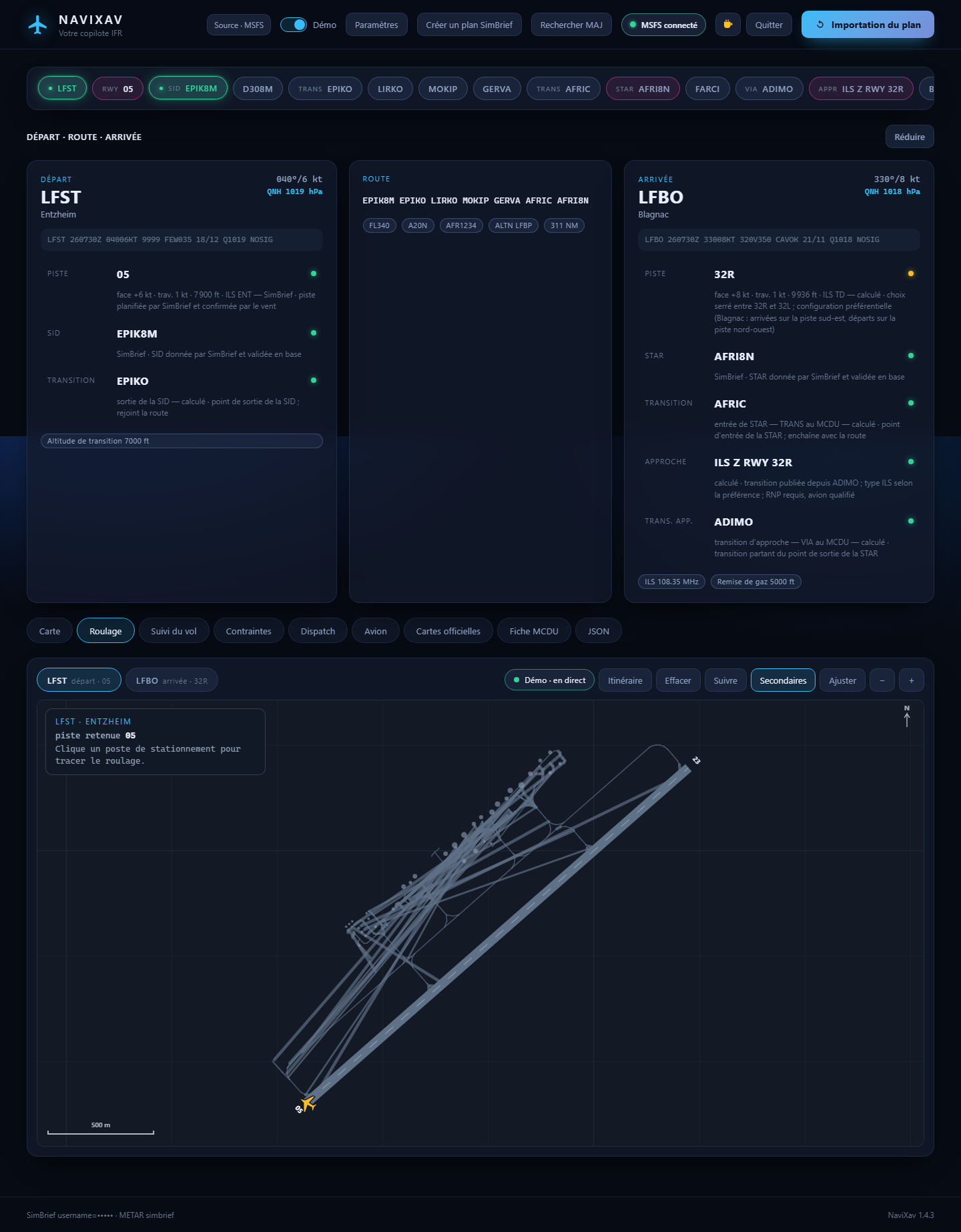
A route built from simulator data
NaviXav uses the runways, taxiways, stands and hold-short points supplied by MSFS. At departure, it detects the stand near the aircraft and suggests a path to the runway selected in the flight plan.
Secondary taxiways remain hidden by default. The route and useful names stay prominent, keeping complex airports readable.
Your next action stays visible
- The next manoeuvre and its taxiway are displayed prominently.
- Completed and remaining route segments stay distinct, with the distance left to travel.
- The route targets the runway end in use and marks the hold-short location.
- After a deviation, a new path starts from the aircraft’s actual position.
Built to assist, not replace ATC
NaviXav guidance is for flight simulation only. Air traffic control instructions and official aerodrome charts always take priority.